Bogotá to Lima Flights
Bogotá El Dorado (BOG) and Lima (LIM) are 1,888 km (1,173 mi) apart, about 3h 5m by nonstop flight. 3 airlines fly the route nonstop: Avianca, LATAM Colombia and LATAM Perú. Lima and Bogotá keep the same time all year. Flights also run the other way, from Lima to Bogotá, over the same distance.
Bogotá to Lima links two Andean capitals and the hubs of Avianca and LATAM's Peruvian airline. The route runs south over southern Colombia and the Peruvian Andes.
- Distance
- 1,888 km1,173 mi
- Flight time
- 3h 5m3h 15m on the way back
- Time difference
- 0 hLima vs Bogotá
- CO₂ per passenger
- 434 kgEconomy, one way
Airlines Flying Bogotá to Lima Nonstop
Both airports list each of these airlines on the route, so it flies both ways. Seasonal flights only operate part of the year.
How Far Is Bogotá from Lima?
1,888 km (1,173 mi) along the great circle, the shortest path over the Earth's surface. Real flights stray from it a little for winds, air traffic routes and closed airspace.
Why the route curves
Press play or drag along the track to fly the route
- 1,888 km the shortest path, along a great circle
- 1,888 km the straight line on a flat map: on a route this short the difference barely shows
The Earth is round, so the shortest route between two places is a great circle. Flat maps stretch the far north and south, which makes that route look curved.
How Long Is the Flight from Bogotá to Lima?
Nonstop flights from Bogotá to Lima are scheduled at about 3h 5m, and at about 3h 15m from Lima to Bogotá. These are the times airlines publish, gate to gate, rounded to five minutes. The two directions differ mostly because of the winds at cruising altitude.
Time Difference Between Bogotá and Lima
Lima and Bogotá keep the same time all year.
Work out the jet lag for this flight
The Airports
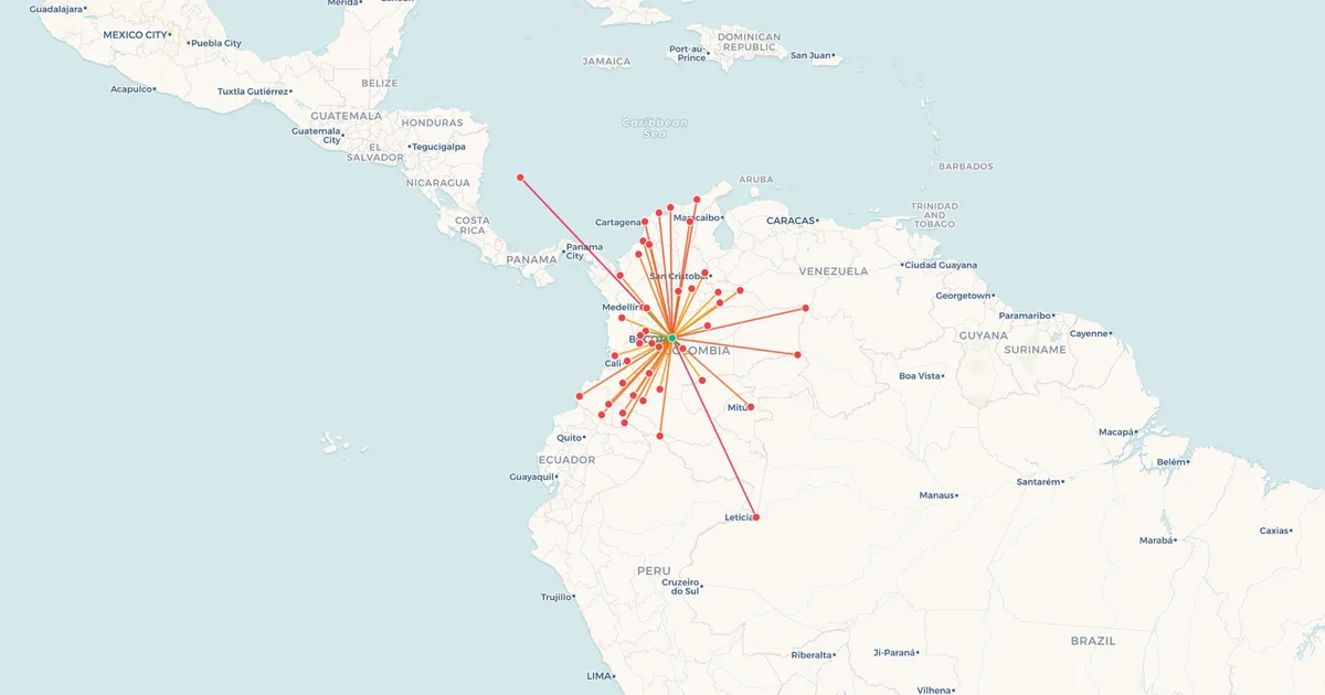
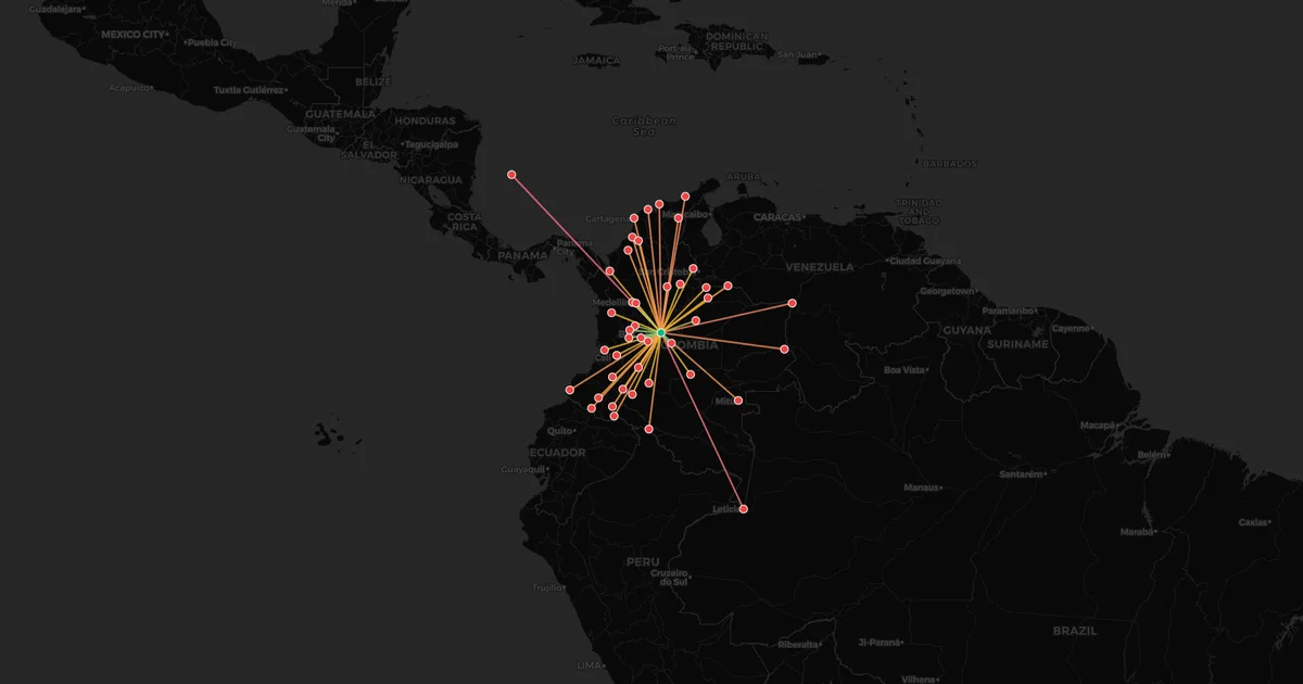
 Bogotá El Dorado BOGColombia107 nonstop destinations, 38 airlinesFlights from BOG
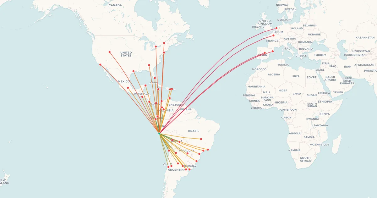
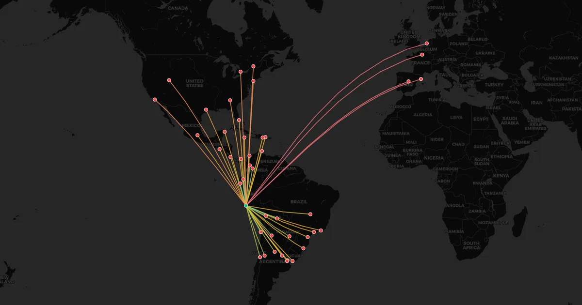
 Lima LIMPeru65 nonstop destinations, 33 airlinesFlights from LIM
More Routes from Bogotá
- Bogotá →
 Miami2,435 km
- Bogotá →
 Madrid8,031 km
- Bogotá →
 Santiago de Chile4,251 km
- Bogotá →
 Panama City755 km
More Routes from Lima
- Lima → Santiago de Chile2,462 km
- Lima → Madrid9,526 km
 Buenos Aires → Lima3,153 km
 Mexico City → Lima4,245 km
Plan This Flight
- Window Seat PlannerWhich side of the plane the sun will be on, and whether you will catch a sunrise or a sunset.
- What Countries Will I Fly Over?Every country under your route, in order, on a globe, with how long you spend over each one.
- Jet Lag CalculatorHow many time zones a route crosses, which direction is worse, and how long the recovery usually takes.
- Flight Carbon CalculatorThe CO₂ a flight puts into the air, for one seat, with something recognisable to compare it against.
Airlines as of September 2026, from the destination lists of both airports, compiled by My Flight Routes. Schedules change and seasonal routes come and go, so check with the airline before you book.
Flown Bogotá to Lima? Put every flight you have taken on your own map.
Map My Flights