Flight Route Map - Visualize Any Route Instantly
See all your flights come to life on a beautiful, interactive world map. No matter how many flights you've taken, My Flight Routes displays your complete flight history with stunning curved path lines and animated route drawing. Perfect for travelers who want to visualize their journey at a glance.
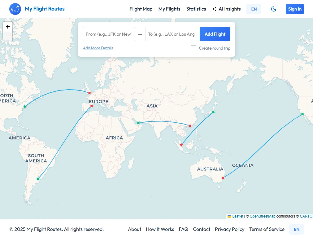
Preview of the interactive flight map with animated routes.
What You Get
- Interactive World Map: Zoom, pan, and explore your flight routes on a responsive map that works on desktop, tablet and mobile
- Animated Route Drawing: Watch your routes animate as they draw across the map, it's both beautiful and informative
- Instant Details: Click on any route or marker to see flight details: date, time, airline, duration and personal notes
- No Account Required: Start mapping immediately in offline mode. Your flights stay private in your browser
- Shareable Maps: Create shareable links to show friends and family your complete flight journey
Perfect For
- Frequent Travelers: Keep a visual record of everywhere you've been
- Aviation Enthusiasts: Track your flight hours and routes in one place
- Travel Bloggers: Share your routes with your audience through shareable maps
- Business Travelers: Visualize patterns in your travel for expense tracking or logistics
Start Mapping Your Flights
Adding flights is simple: enter your departure and arrival airports, and My Flight Routes automatically calculates the distance and draws the route on your map. Build your map one flight at a time, or import multiple flights at once using CSV. Your map updates instantly. Or, try our interactive mode: click the crosshairs icon and click directly on the map to discover nearby airports and build your route visually.
FAQ
Can I add flights without typing airport codes?
Yes! Click the crosshairs icon to enter interactive mode. Click anywhere on the map to see nearby airports, then click your origin and destination. No typing required. Learn more about this feature in our Interactive Airport Selection guide.
What's the fastest way to add many flights?
Use bulk import with CSV for maximum speed, or use interactive mode to click-select flights visually. For quick entry, type airport codes (fastest if you know them), or use interactive clicking for visual exploration of alternative routes.
How accurate is the distance calculation?
My Flight Routes uses great-circle distance (the shortest path over Earth's surface), the same calculation used in aviation. It's accurate within 0.1% and accounts for Earth's actual shape. This is more accurate than straight-line distance and shows the actual route pilots fly.
Try it instantly - no account required