Explore
Free tools and maps for the flying world beyond your own flights: calculators for any route, where airlines fly, where you can fly nonstop from the world's major airports, the popular routes between them, and stories from the blog.
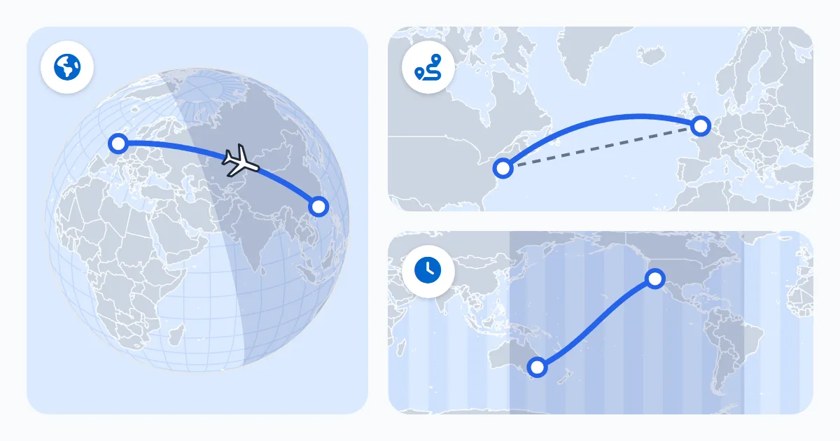
Flight Tools
Window seat and northern lights planners, the countries under your route, a meet-in-the-middle finder, distance, jet lag and carbon calculators, the farthest airport finder, a boarding pass decoder and a daily game: guess where a real flight lands.
10 tools
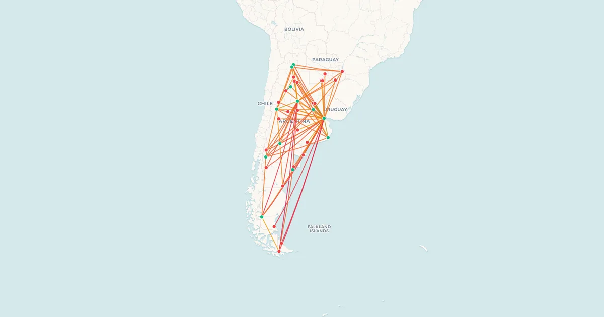
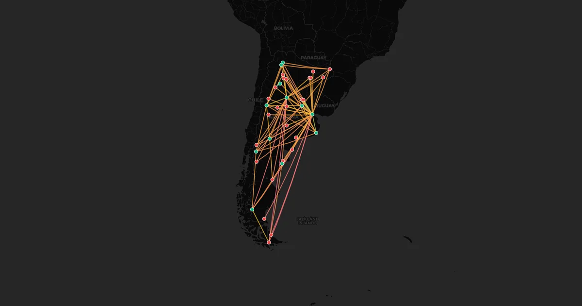
Airline Route Maps
Every destination an airline flies, on a map, with the distance of each route.
48 airlines
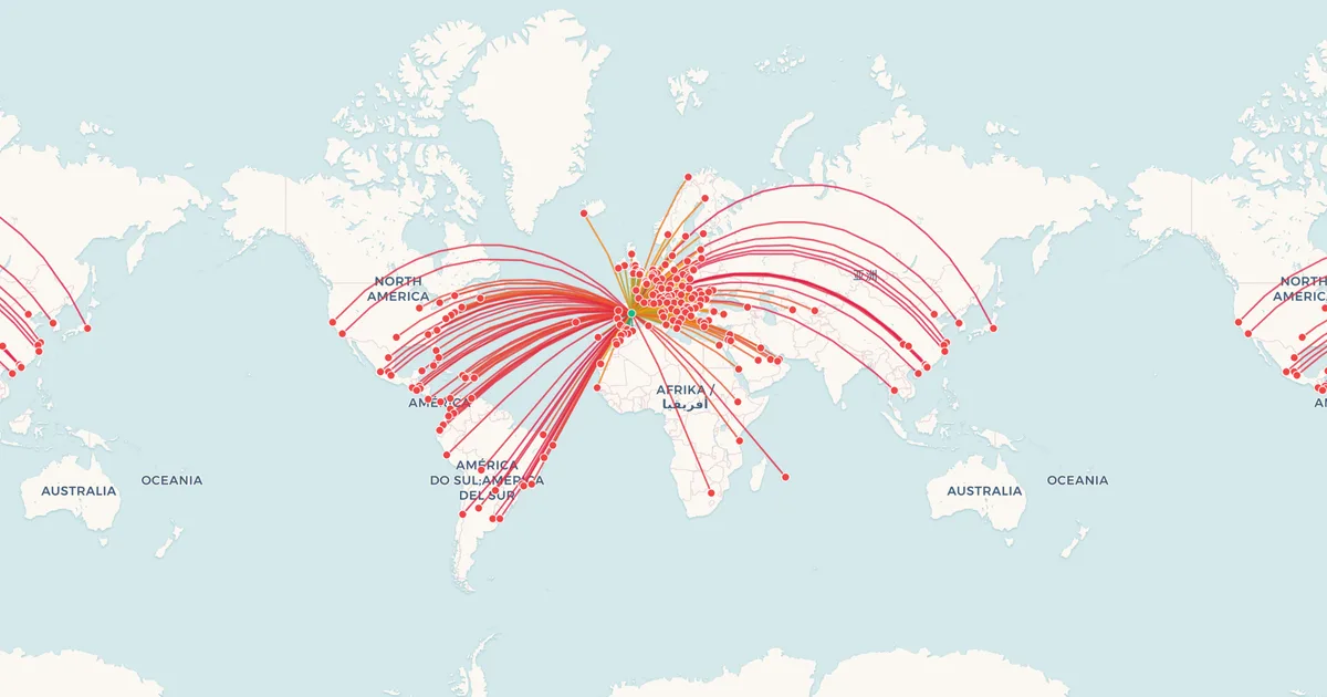
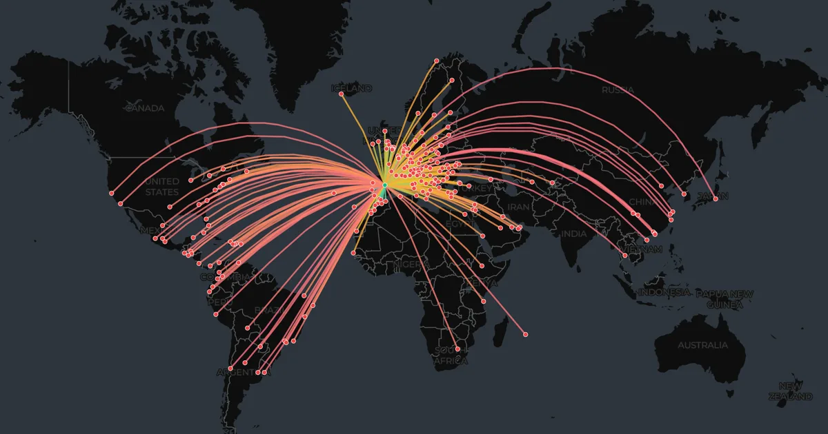
Airport Destination Maps
Every nonstop destination from a major airport, on a map, with the airlines that fly each route.
28 airports
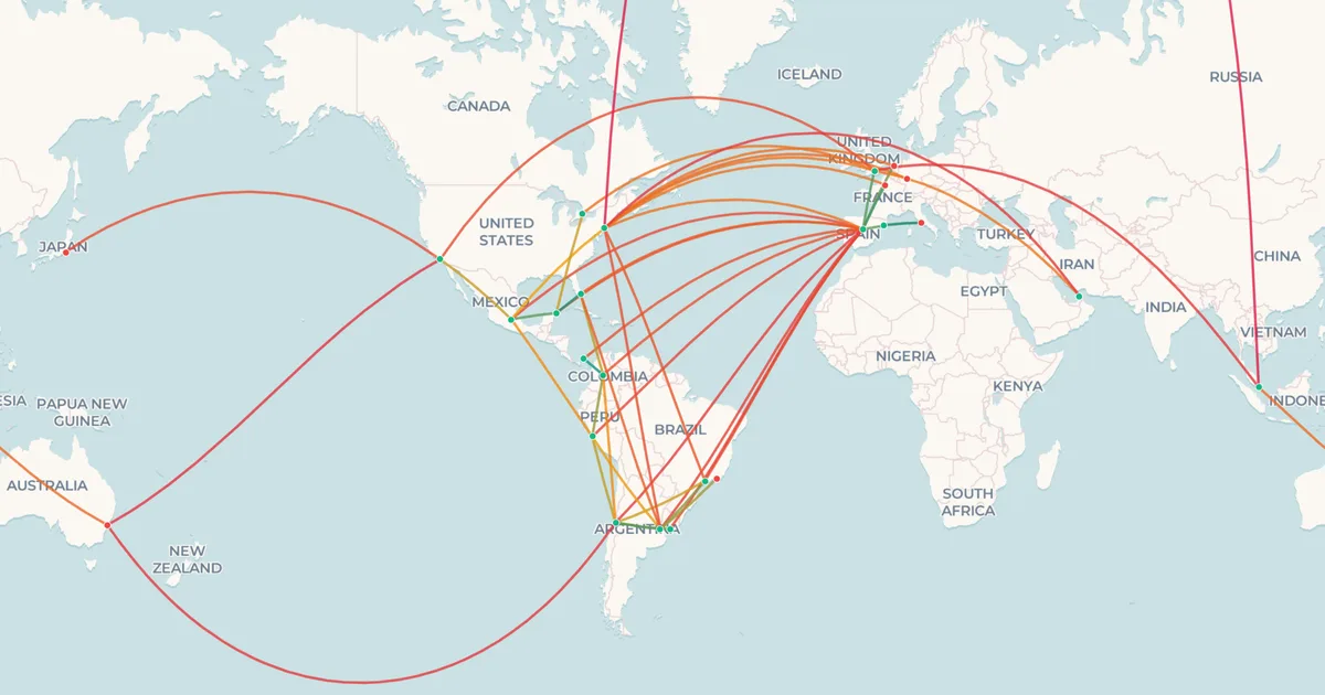
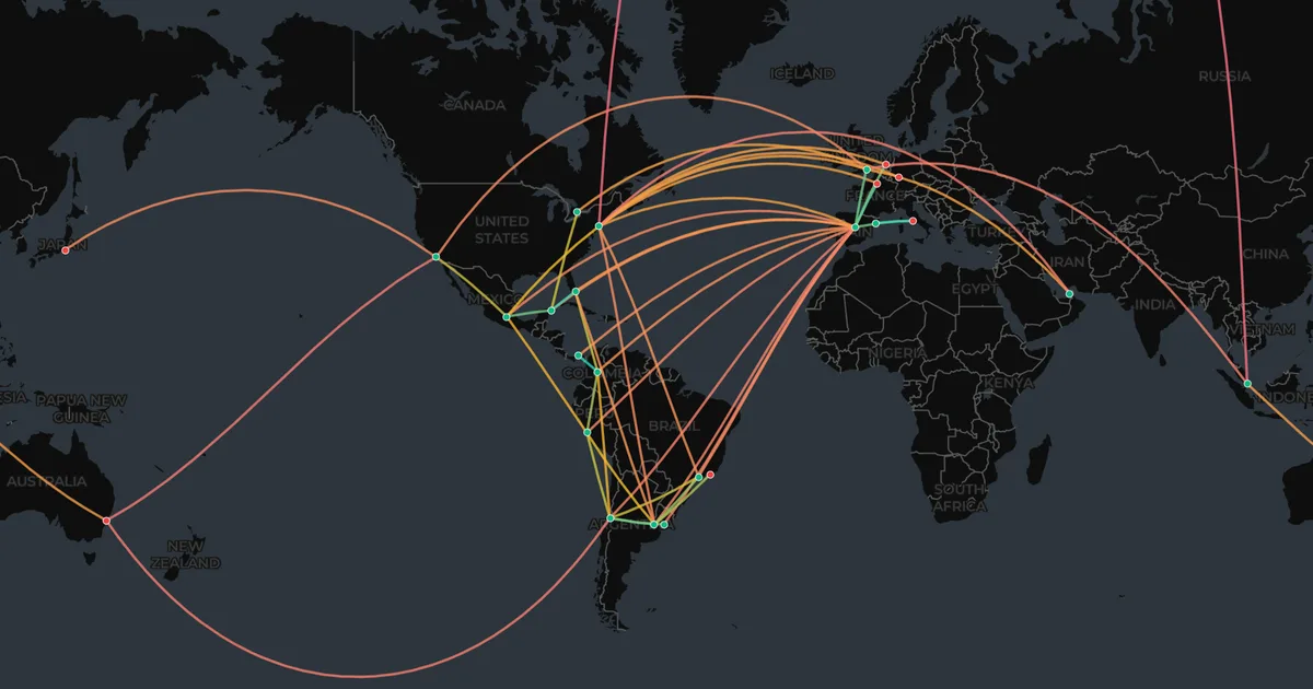
Popular Flight Routes
How far, how long and who flies nonstop between major cities, with the time difference and the route on a globe.
50 routes

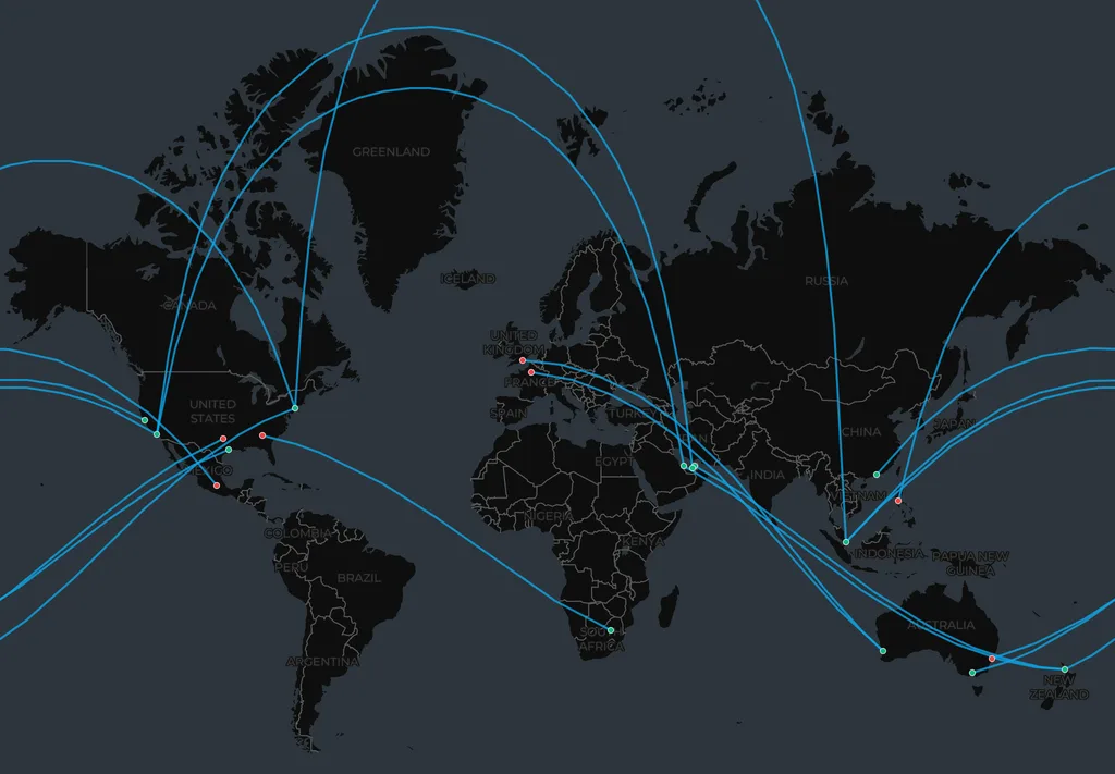
Blog & Resources
Stories and guides about routes, records and airports, each with the flights on maps you can add to your own.
45 articles